Guides and maps

These are essential tools for being able to get around the town and get to know its beautiful coastline, its wide range of leisure activities and its green spaces.


Torrevieja Tourist Guide
These are essential tools for being able to get around the town and get to know its beautiful coastline, its wide range of leisure activities and its green spaces.

The lagoons of La Mata and Torrevieja are made up a wetland of special interest for their botanical value and landscape of undoubted beauty as well as the socio-economic aspect, since we must not forget that inside the park there is the working of the salt lakes. among the most important in Europe.
It is popularly called the esplanade ‘De Las Rocas’, starting in the Paseo de la Libertad and linked to it until the Avenida de Los Marineros in the heart of the Playa del Cura beach. It is built on the rocks of the Torrevieja coast, being laid out at the beginning of last century.

The Eras de la Sal is a fine example of Spanish industrial architecture from the 18th century.
![Parque-del-molino-en-Torrevieja-1[1]](https://torrevieja.com/ps15/wp-content/uploads/2018/02/Parque-del-molino-en-Torrevieja-11.jpg)
This is situated between the streets Bazán and Tomillo, next to the ring-road in the area popularly known as the “Barrio Molinos”.

It is dedicated to the nations of Europe and it has a scale reproduction of the map of the European Continent.

It was inaugurated in its present provisional headquarters in February 1995 and exhibits a selection of objects that constitute a reflection of Torrevieja’s historic roots.

Situated on the Torrevieja to La Mata coast road, the panoramic viewpoint La Torre del Moro represents the early watchtowers which gave the town its name.

Situated in the former RENFE warehouse, which is now in the Parque de la Estación, the centre provides an attractive voyage through the history of the salt industry in Torrevieja.
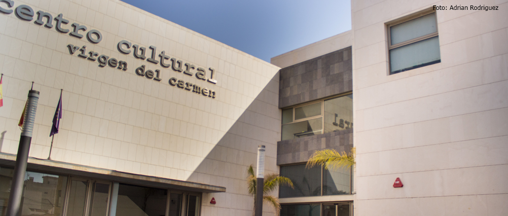
The Virgen Del Carmen Cultural centre is the venue for many cultural activities celebrated by different local groups: exhibitions, courses and workshops, conferences, theatre plays, concerts, etc.